Conference in Aveiro, Portugal
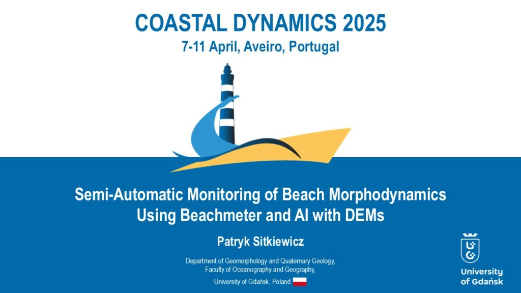
The tenth edition of the “Coastal Dynamics” conference took place in Aveiro, Portugal, from April 7 to 11. Among the attendees was a representative from our department. Patryk Sitkiewicz presented on the potential for automating the monitoring of beach morphodynamics by combining the Beachmeter tool with artificial intelligence. Sitkiewicz P., 2025, Semi-Automatic Monitoring of Beach […]
Measurement – coastal teledetection
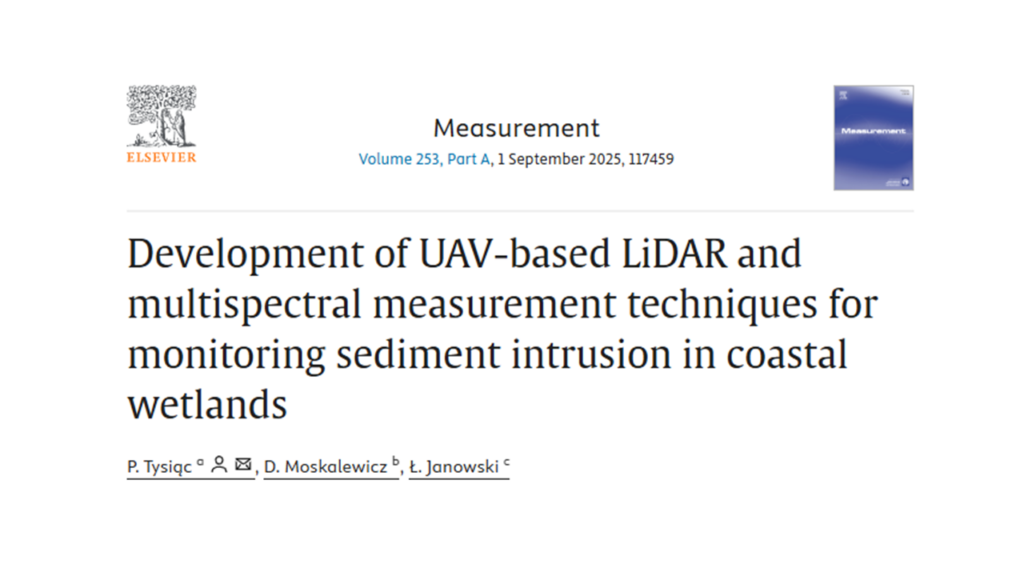
The STORMLINK project (NCN/2021/43/D/ST10/00185) has published a new paper on its ability to detect changes in the patterns and spread of sandy sediments in the marine coastal zone. In our latest study, we combined data from a drone equipped with a LiDAR scanner with data from a multispectral camera to distinguish freshly formed sediments from […]
Labwork in Stockholm
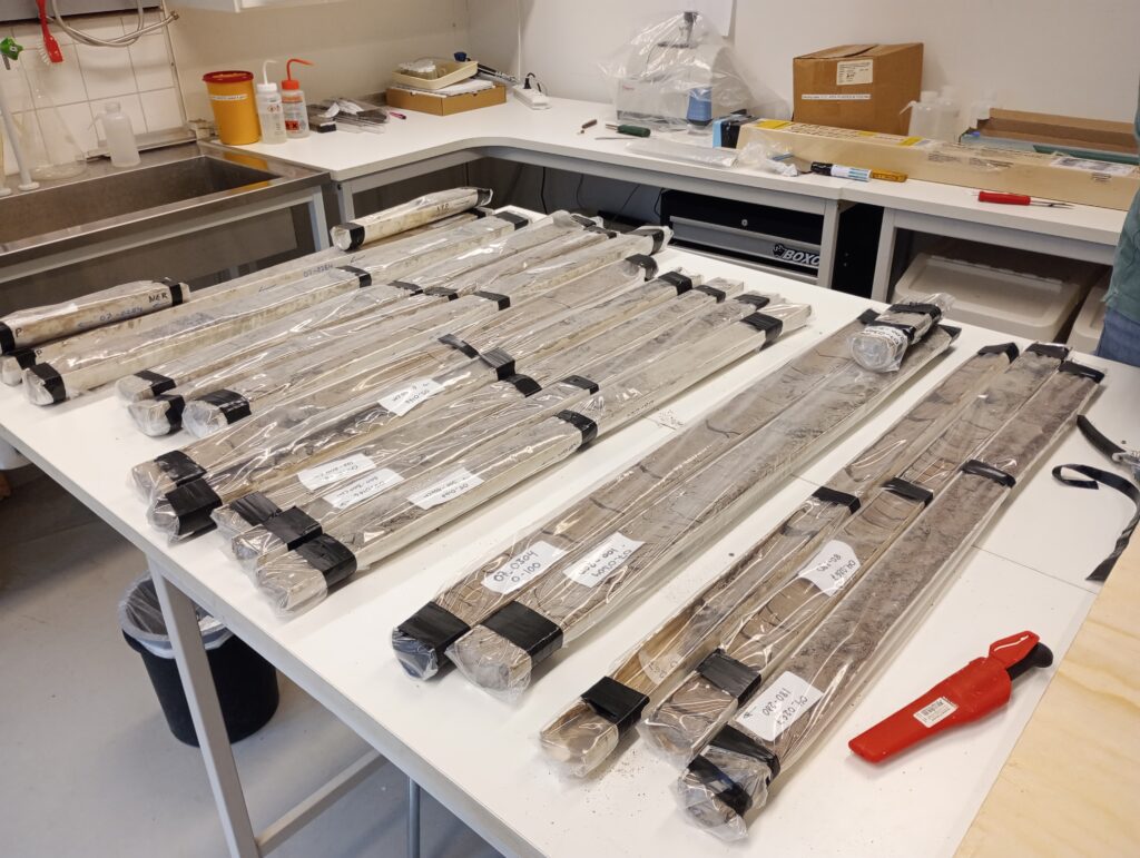
From March 10 to 14, Karol Tylmann was a guest at the Department of Geological Sciences at Stockholm University, where he conducted research on sediment cores from the bottom of the Baltic Sea as part of the “STREAMBAL” project. Karol was primarily involved in collecting glacial clay samples from the aforementioned cores for microstructural analysis […]
International Geomorphology Week 2025
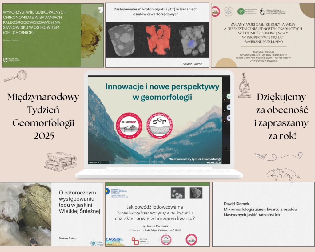
Last week we celebrated International Geomorphology Week. Some of Us took part in the national celebration, coordinated by The Association of Polish Geomorphologists. On March Fourth, the Commission for Innovative Research Methods in Geomorphology organized the first edition of the session “Young Geomorphologists – Innovations and New Perspectives in Geomorphology,” where Young Geomorphologists from six […]
Sedimentary Geology – lithic clasts in Rzucewo
The morphology of clasts conceals a great deal of information about the past of various depositional environments and their phenomena. In their latest publication, Łukasz Elwirski and Piotr Woźniak used material from the Rzucewo cliff. The authors analyzed the variation in the lithology and morphology of gravels carried by dense subaquatic flow to understand better […]
Elsevier monography – dating techniques
Elsevier has published a monography titled “Climate and Anthropogenic Impacts on Earth Surface Processes in the Anthropocene.” It provides a comprehensive overview of how ongoing and accelerated environmental changes, driven by human activities, affect Earth’s surface processes. The book contains up-to-date knowledge about these effects and presents systematic and quantitative methods for studying the drivers […]
Fieldwork in Georgia – Erasmus
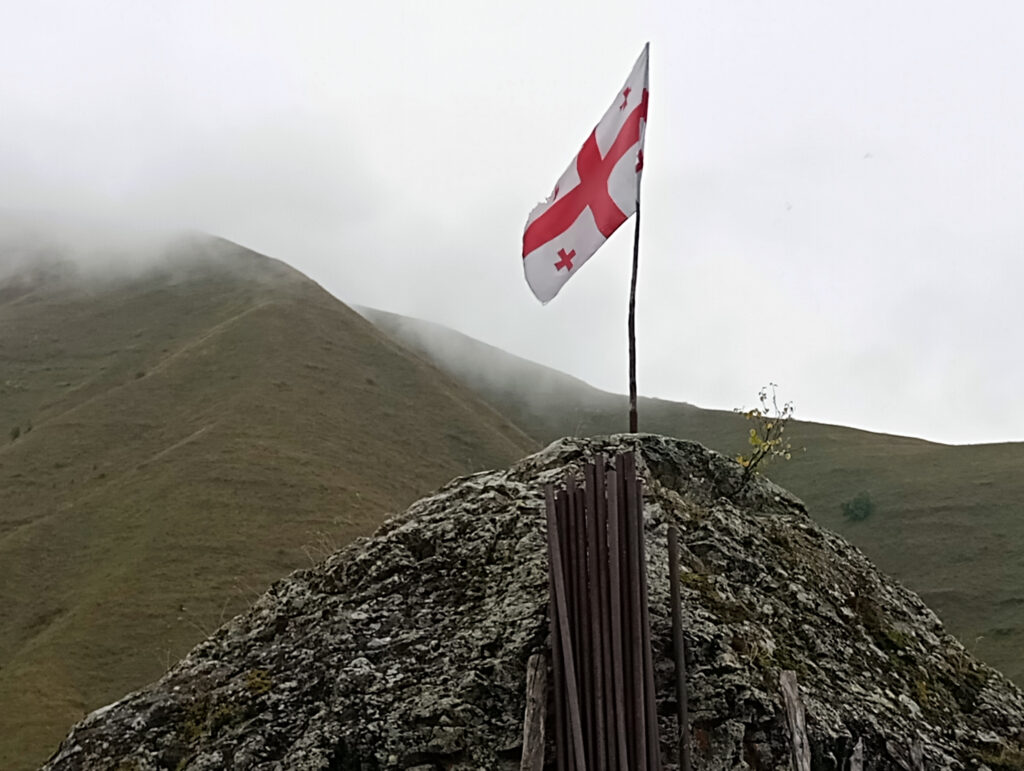
The academic year has begun, so all the staff of our Department are on the spot within the walls of the university and devote themselves with great satisfaction to the teaching process. However, we still have a report on the end of the summer vacation and another of our many trips. Within the framework of […]
Publication in SoftwareX – Beachmeter, an ArcGIS toolbox
In Patryk Sitkiewicz’s latest article, we learn about a new method for measuring beach morphodynamics and morphology. Patryk has developed a GIS tool that, using remote sensing data, allows us to extend our studies in time and space. Beachmeter is an open-source toolbox released for ArcGIS software. If you are interested, please read Patrick’s article, […]
Publication in Geomorphology – storm surge landforms
On the backside of the beach, just behind the dunes, extremely interesting landforms called storm surge overflow cones are forming. A new article has just been published, resulting from research conducted as part of the STORMLINK project. In the publication, the authors analyze the shape and internal structure of the cones.We invite you to read […]
DatErr 2.0 – July 2024 fieldwork
Fieldwork in the “DatErr 2.0” project for multi-isotope dating of eratics in Poland and Germany is progressing! Karol Tylmann, Piotr Woźniak, Sanjaya Gurung and our dear friend from France, Vincent Rinterknecht, once again set off to Poland in search of erratic boulders*.From July 20-28, equipped with hammers and a chisel, guys took samples for further […]